Hulme Walfield
Parish in Cheshire East, England
| Coordinates: | 53.181, -2.223 |
|---|---|
| OS grid ref: | SJ 85 64 |
| Dialling code: | 01260 (Congleton) |
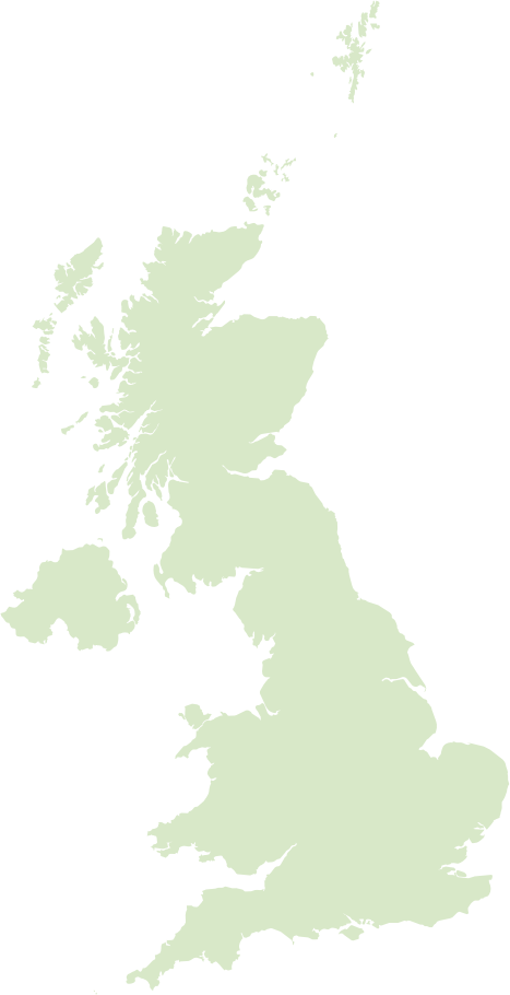
Hulme Walfield is a small, predominantly rural parish in Cheshire East, England, lying a few miles from the market town of Congleton. The landscape is typical Cheshire countryside of rolling fields, hedgerows and narrow lanes, with a scattering of historic farmhouses and cottages rather than a single compact village centre.
Locally the community is small and closely knit, historically shaped by agriculture but now also home to commuters who travel to nearby towns. The parish shares local governance and community activities with neighbouring Somerford, and residents value the quiet, village‑style way of life together with easy access to larger services and walking country on the edge of the Peak District fringes.
Postcode districts covering Hulme Walfield
Most populated places nearby
- Manchester 20 miles
- Stoke-on-Trent 11.5 miles
- Warrington 20.7 miles
- Stockport 16 miles
- Salford 21.7 miles
- Newcastle-under-Lyme 11.3 miles
- Crewe 11.1 miles
- Macclesfield 6.5 miles
- Runcorn 22.3 miles
- Widnes 24.5 miles
- Sale 17.2 miles
- Northwich 12.9 miles
Neighbouring places
- Congleton West Ward 1 mile
- Congleton Built-up area 1.2 miles
- Somerford Booths Parish 1.5 miles
- Marton Parish 2.2 miles
- Congleton East Ward 2.3 miles
- Newbold Astbury Parish 2.4 miles
- North Rode Parish 2.5 miles
- Somerford and Brereton Heath Built-up area 2.8 miles
- Swettenham Parish 3.2 miles
- Moreton cum Alcumlow Parish 3.5 miles
- Smallwood Parish 3.8 miles
- Bosley Parish 4.1 miles
Example postcodes in Hulme Walfield
CW12 2JJ, CW12 2HH, CW12 1TJ, CW12 1LJ, CW12 2JG, CW12 1GY, CW12 1TR, CW12 2RU, CW12 2RT … See all
Transport links
- Manchester Airport 12.2 miles
- Liverpool John Lennon Airport 28 miles
- Congleton Railway Station 2 miles
- Goostrey Railway Station 5.2 miles
Hotels near Hulme Walfield Ad
- Lion & Swan Hotel 5 1.2 miles
- The Plough Inn & Restaurant 4 1.2 miles
- Alexandra Court Hotel 3 1.3 miles
- The Egerton Arms Country Inn 4 2.1 miles
- The Tytherington 4 8 miles
- De Vere Cranage Estate 4 6.7 miles
- The Bear's Paw 9.2 miles
- Manor House Hotel Alsager 7.1 miles
- Premier Inn Macclesfield South West 3 5.3 miles
- The De Trafford 3 4.2 miles
Local points of interest
- Somerford Hall Estate 2.5 miles
- Moreton Hall Estate 3.3 miles
- Capesthorne Hall Estate 4.8 miles
- Moss Rose Stadium 5.8 miles
- Swithamley Hall Estate 7.8 miles
- Dieulacres Abbey Historic site 9 miles
- Vale Park Stadium 9.1 miles
- Crewe Hall Estate 10 miles
- Etruria Hall Country house 10.7 miles
- Alexandra Stadium Stadium 10.9 miles
- Avro Heritage Museum Museum 11.4 miles
- Tatton Park Estate 12.1 miles