Appleton Roebuck & Church Fenton
Ward in North Yorkshire, England
| Coordinates: | 53.865, -1.218 |
|---|---|
| OS grid ref: | SE 51 41 |
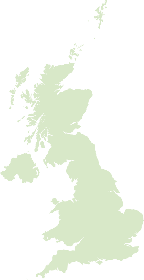
The ward covers the villages of Appleton Roebuck and Church Fenton, set in gently rolling arable countryside just south of York in North Yorkshire. It has a distinctly rural feel with compact village centres, working farmland and good rail and road links that make it attractive to commuters heading into York and Leeds.
Church Fenton is locally notable for its airfield, a former RAF station now used for civilian flying and events, while Appleton Roebuck retains a strong village identity with historic buildings, community groups, pubs and local clubs. The local economy leans on agriculture and small businesses, and the area’s conservation-minded residents and listed buildings hint at a long, layered history beneath its contemporary commuter and rural life.
Postcode districts covering Appleton Roebuck & Church Fenton
Most populated places nearby
- Leeds 14.2 miles
- Bradford 22.9 miles
- York 8.4 miles
- Doncaster 24.1 miles
- Wakefield 17.4 miles
- Harrogate 15.8 miles
- Barnsley 23.3 miles
- Castleford 11.2 miles
- Morley 17.5 miles
- Dewsbury 20.7 miles
- Batley 19.8 miles
- Pontefract 12.6 miles
Neighbouring places
- Bolton Percy Parish 0.7 miles
- Ulleskelf Built-up area 0.9 miles
- Kirkby Wharfe with North Milford Parish 1.3 miles
- Oxton Parish 1.6 miles
- Grimston Parish 1.6 miles
- Towton Parish 2.1 miles
- Steeton Parish 2.2 miles
- Appleton Roebuck Built-up area 2.4 miles
- Church Fenton Built-up area 2.4 miles
- Tadcaster Built-up area 2.6 miles
- Ryther cum Ossendyke Parish 2.7 miles
- Catterton Parish 2.7 miles
Example postcodes in Appleton Roebuck & Church Fenton
YO23 7AJ, LS24 9QS, LS24 9SZ, LS24 8ED, YO23 7EL, LS24 8EQ, LS25 6HR, LS24 8DA, LS24 9PE … See all
Transport links
- Leeds Bradford International Airport 18 miles
- Doncaster Sheffield Airport 27.9 miles
- Ulleskelf Railway Station 0.8 miles
- Church Fenton Railway Station 2.7 miles
Hotels in Appleton Roebuck & Church Fenton Ad
Schools in Appleton Roebuck & Church Fenton
- Appleton Roebuck Primary School Primary
- Barkston Ash Catholic Primary School, a Voluntary Academy Primary
- Kirk Fenton C of E Primary School Primary
Local points of interest
- Nun Appleton Hall Estate 2.7 miles
- Nun Appleton Priory Historic site 2.7 miles
- York Racecourse Recreation 7.1 miles
- Wetherby Racecourse Recreation 7.6 miles
- National Railway Museum Museum 8.2 miles
- Saw Wood Forest 8.2 miles
- Wentworth College College 8.6 miles
- University of York University 8.8 miles
- Bootham Crescent Stadium 8.9 miles
- Fairnurn Ings Nature reserve 9.1 miles
- Yorkshire Museum of Farming Museum 10.8 miles
- Pontefract Racecourse Recreation 12.3 miles