Diss
Parish in South Norfolk, Norfolk, England
| Coordinates: | 52.379, 1.114 |
|---|---|
| OS grid ref: | TM 12 80 |
| Population: | 10,734 |
| Dialling code: | 01379 |
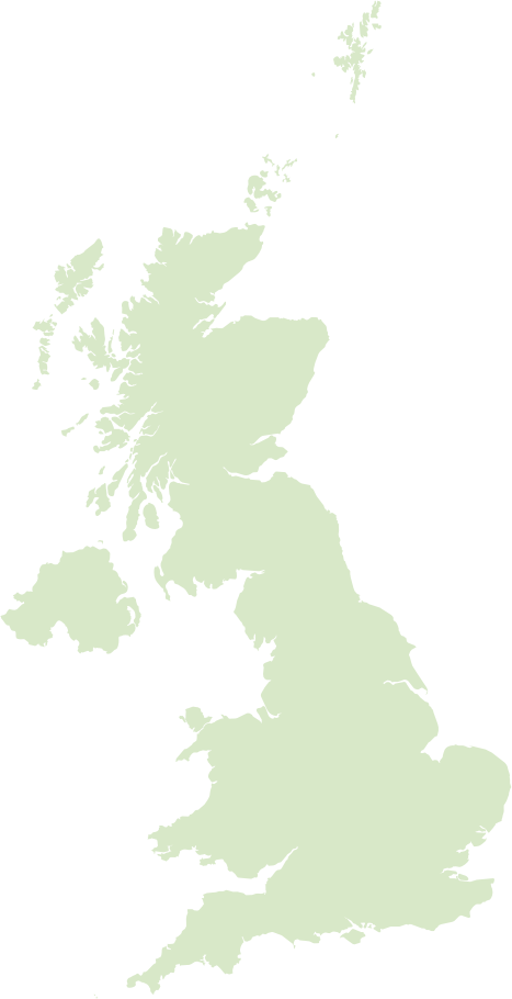
Diss sits on the southern edge of the Norfolk Broads in South Norfolk, England, centred on the striking ice‑age hollow of Diss Mere, a broad tree‑lined lake that gives the town a distinctive green heart. The River Waveney skirts the parish and the surrounding undulating countryside makes it a popular base for walkers and anglers, while a direct rail link to Norwich keeps it well connected for commuters and visitors.
Culturally and historically Diss blends a compact high street of independent shops, cafés and regular markets with Georgian and Victorian streets and a mix of community events. Its economy combines local retail and services with small light industry and tourism linked to the Broads; socially it has a strong village‑town feel where the mere, local clubs and regular festivals form focal points for residents.
Postcode districts covering Diss
Most populated places nearby
- Ipswich 22.6 miles
- Norwich 19.4 miles
- Bury St. Edmunds 18.6 miles
- Thetford 15.6 miles
- Stowmarket 14.3 miles
- Beccles 19.8 miles
- Woodbridge 21.3 miles
- Kesgrave 22.5 miles
- Diss 0.2 miles
- Attleborough 10 miles
Neighbouring places
- Diss Built-up area 0.2 miles
- Diss & Roydon Ward 0.7 miles
- Palgrave Built-up area 1.1 miles
- Roydon Built-up area 1.1 miles
- Snow Street Built-up area 1.6 miles
- Stuston Parish 1.7 miles
- Scole Built-up area 2 miles
- Burston Built-up area 2.1 miles
- Shelfanger Built-up area 2.2 miles
- Bressingham Built-up area 2.4 miles
- Thrandeston Parish 2.4 miles
- Heywood Parish 2.5 miles
Example postcodes in Diss
IP98 9RA, IP22 4YF, IP22 4HG, IP98 1ER, IP22 4PS, IP22 4GQ, IP22 4DL, IP22 5SS, IP22 4YG … See all
Transport links
- Norwich International Airport 21.7 miles
- Stansted Airport 50.5 miles
- Diss Railway Station 0.6 miles
- Eccles Road Railway Station 8.7 miles
Hotels near Diss Ad
- The Oaksmere 4 2.6 miles
- Best Western Brome Grange 3 2.5 miles
- J.D.Young 8 miles
- The Scole Hotel 3 2 miles
- Breckland Lodge 9.8 miles
- Swan Hotel 3 8 miles
Schools in Diss
- Diss High School Secondary
- Diss Infant Academy and Nursery Primary
Local points of interest
- Bressingham Steam and Gardens Gardens 2.4 miles
- Redgrave and Lopham Fen Nature reserve 4.4 miles
- Snetterton Heath Estate 8.6 miles
- Shepherds Grove Forest 10.5 miles
- Brettenham Heath National Nature Preserve Nature reserve 12.5 miles
- Sibton Abbey Historic site 16.5 miles
- Wayland Wood Forest 16.7 miles
- Sainsbury Centre for Visual Arts Museum 17.4 miles
- Elveden Hall Estate 18.3 miles
- Cocksfield Hall Historic site 18.4 miles
- Chapelfield Centre Shopping centre 18.6 miles
- Carrow Road Stadium 18.7 miles