Kingswood and Fishponds
Built-up area in South Gloucestershire, England
| Coordinates: | 51.467, -2.506 |
|---|---|
| OS grid ref: | ST 64 74 |
| Population: | 64,793 |
| Dialling code: | 0117 (Bristol) |
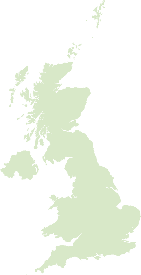
Kingswood sits on the eastern edge of Bristol within the unitary authority of South Gloucestershire in England. Historically a coal‑mining and industrial area that expanded rapidly in the 18th and 19th centuries, it’s notable for its links to John Wesley and the Methodist movement; today it is largely residential with Victorian terraces, local high streets, pockets of regeneration and light industry, and decent road links into the city and the M4 corridor.
Fishponds lies just north‑east of central Bristol (historically part of Gloucestershire) and takes its name from the ponds and marl pits that used to dot the landscape; it grew as a Victorian suburb around factories and the rail network. Now it’s a busy, family‑oriented part of east Bristol with independent shops, cafes and pubs, good green spaces and an active community scene, reflecting a blend of long‑standing local industry and a growing creative and commuter population.
Postcode districts covering Kingswood and Fishponds
Most populated places nearby
- Bristol 4.2 miles
- Newport 21.3 miles
- Bath 8.6 miles
- Weston-super-Mare 20.6 miles
- Stroud 22.5 miles
- Trowbridge 16.4 miles
- Chipping Sodbury 7 miles
- Chippenham 16.6 miles
- Yate 6.3 miles
- Frome 19.6 miles
- Portishead 11.8 miles
- Clevedon 15.2 miles
Neighbouring places
- New Cheltenham Ward 0.6 miles
- Woodstock Ward 0.7 miles
- St. George Central Ward 0.9 miles
- Hillfields Ward 1 mile
- Staple Hill & Mangotsfield Ward 1.1 miles
- Kingswood Built-up area 1.1 miles
- Hanham Parish 1.3 miles
- Parkwall & Warmley Ward 1.4 miles
- St. George Troopers Hill Ward 1.5 miles
- Oldland Parish 1.7 miles
- Eastville Ward 1.8 miles
- St. George West Ward 1.8 miles
Example postcodes in Kingswood and Fishponds
BS30 8GG, BS16 1AY, BS15 3JN, BS15 1NJ, BS16 7HT, BS16 1FE, BS30 8YJ, BS16 1XB, BS16 7NP … See all
Transport links
- Bristol Airport 10.9 miles
- Cardiff Airport 36.4 miles
- Oldland Common Railway Station 2.3 miles
- Lawrence Hill Railway Station 2.6 miles
Hotels in Kingswood and Fishponds Ad
- Holiday Inn Bristol Filton 4
- Homely and Modern Maisonette in Vibrant Bristol 2
- Premier Inn Bristol East 3
- YourApartment - Wellington Place 3
- The Dark Horse Pub
Schools in Kingswood and Fishponds
- Barley Close Community Primary School Primary
- Barrs Court Primary School Primary
- Beacon Rise Primary School Primary
- Begbrook Primary Academy Primary
- Blackhorse Primary School Primary
- Briarwood School Special
- Bristol Brunel Academy Secondary
- Bristol Metropolitan Academy Secondary
- Bromley Heath Infant School Primary
- Bromley Heath Junior School Primary
- Cadbury Heath Primary School Primary
- Cherry Garden Primary School Primary
- Chester Park Infant School Primary
- Christ Church Hanham C of E Primary School Primary
- Christ Church, C of E Infant School, Downend Primary
- Christ Church, C of E Junior School, Downend Primary
- Courtney Primary School Primary
- Digitech Studio School Secondary
- Downend School Secondary
- … See all
Local points of interest
- College Road Allotments Gardens 1.8 miles
- Oldbury Court Estate Estate 1.8 miles
- Cabot Circus Shopping centre 3.5 miles
- Memorial Stadium Stadium 3.6 miles
- University of Bristol University 4.2 miles
- SS Great Britain Museum 4.6 miles
- Bristol Harbour Harbour 4.9 miles
- Ashton Gate Stadium 5.3 miles
- Bath Racecourse Recreation 5.3 miles
- Dyrham Park Historic site 5.9 miles
- Twerton Park Stadium 7.7 miles
- Fashion Museum Museum 8.3 miles