Thornton Dale & Wolds
Ward in North Yorkshire, England
| Coordinates: | 54.191, -0.614 |
|---|---|
| OS grid ref: | SE 90 78 |
| Dialling code: | 01944 (West Heslerton) |
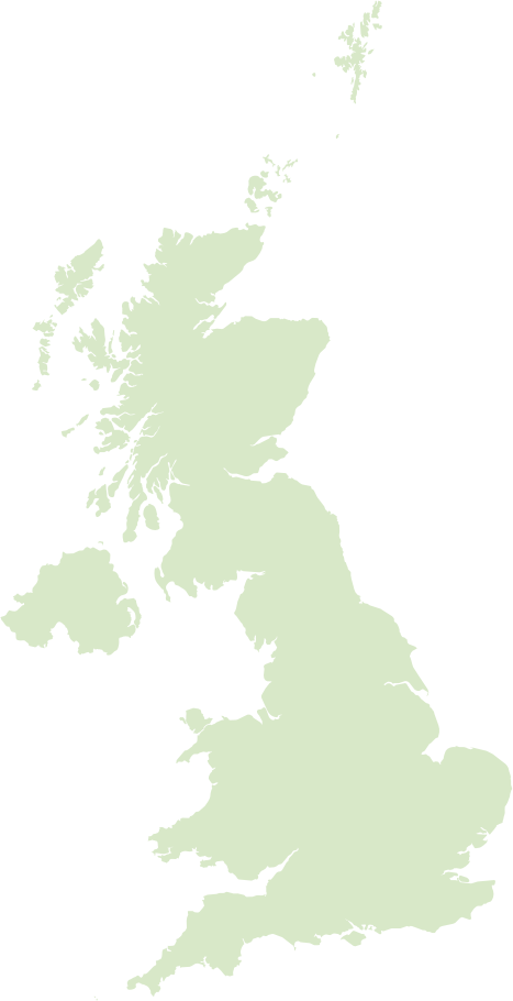
The Thornton Dale & Wolds ward sits in rural North Yorkshire, hugging the southern edge of the North York Moors National Park and the rolling chalk slopes of the Yorkshire Wolds. It contains classic stone-built villages clustered around greens and wooded dales, notably Thornton‑le‑Dale, with limestone outcrops, dry stone walls and a landscape of pasture and arable that’s popular with walkers and photographers.
Locally the economy leans on farming, small businesses, holiday cottages and day‑tourism - tea rooms, craft shops and country pubs - while community life revolves around village halls, seasonal events and conservation groups. Services tend to be found in nearby market towns such as Pickering, and the ward’s historic buildings and access to long-distance footpaths give it a quietly picturesque, low‑development character.
Postcode districts covering Thornton Dale & Wolds
Most populated places nearby
- York 25 miles
- Scarborough 9.4 miles
- Bridlington 18.3 miles
- Whitby 19.4 miles
- Driffield 14.7 miles
- Haxby 22.2 miles
Neighbouring places
- Heslerton Parish 1.8 miles
- Scampston Parish 2.4 miles
- Snainton Built-up area 2.7 miles
- Ebberston Built-up area 2.8 miles
- Sherburn Built-up area 3.4 miles
- Brompton-by-Sawdon Built-up area 3.4 miles
- Wilton Parish 3.6 miles
- Wintringham Parish 3.7 miles
- Brompton Parish 3.8 miles
- Rillington Built-up area 3.9 miles
- Thorpe Bassett Parish 4.3 miles
- Ebberston and Yedingham Parish 4.6 miles
Example postcodes in Thornton Dale & Wolds
YO18 7RZ, YO17 8SS, YO17 8TE, YO25 3QJ, YO13 9NT, YO17 8LP, YO25 3QU, YO25 3BW, YO18 7PY … See all
Transport links
- Durham Tees Valley Airport 39.5 miles
- Leeds Bradford International Airport 48 miles
- Pickering Railway Station 7.7 miles
- Malton Railway Station 8.4 miles
Hotels in Thornton Dale & Wolds Ad
- Ham And Cheese
- The Wentworth Arms 4
- The White Swan Inn 4
- Ganton Greyhound Hotel
- East Ayton Lodge Hotel, Scarborough 3
- Best Western Forest and Vale Hotel 3
- The Horseshoe Country Inn 4
- The Coachman Inn
- High Dalby House
- Premier Inn Pickering 3
Schools in Thornton Dale & Wolds
- West Heslerton C of E Voluntary Controlled Primary School Primary
Local points of interest
- The Walled Garden Gardens 3 miles
- Wolds Way Lavender Gardens 3 miles
- Eden Camp Museum 7.2 miles
- Star Carr Archaeological site 8.2 miles
- Scarborough Signal Station Historic site 11.4 miles
- Castle Howard Estate 12.6 miles
- Castle Howard Country house 12.7 miles
- Keldholme Priory Historic site 13.2 miles
- Ryedale Folk Museum Museum 14.4 miles
- Rosedale Priory Historic site 15.8 miles
- Sand Hutton Hall Estate 18.5 miles
- Duncombe Park Estate 18.5 miles